Fossa Corbulonis
Q769555The Fossa Corbulonis was a canal between the river Rhine and the estuary of the Meuse.
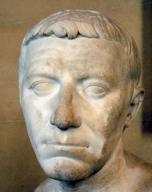
According to Tacitus, the Roman general Gnaeus Domitius Corbulo ordered the construction of this canal in 47.note Its purpose was to prevent ships from sailing offshore on the dangerous outer sea. Because the canal made it easier to reach the new forts along the Lower Rhine, the project may have belonged to the creation of the line of fortifications that is called limes.
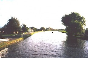
In any case, ships from the Rhineland could now move to the estuary of the Meuse (the Helinium) in safety; over there, it was easier to transfer cargo to seaworthy ships than at the mouth of the Rhine, at Katwijk. This was especially useful because in these years many soldiers came from the Rhineland and had to fight in Britain.
The canal consists of several parts, which can still be recognized:
- The ancient fort at Matilo, near modern Leiden;
- Rijn-Schiekanaal;
- Vliet;
- Trekvliet;
- The ancient city of Forum Hadriani, modern Voorburg.
A dendrochronological monster from three poles, taken in 2006, showed that the trees were cut in 50, which suggests that work continued for several years, or that repairs were needed swiftly after the original construction. More probably, Tacitus put the events of several years under one header and misdated the digging of the canal.
The Canal of Corbulo was situated on a small strip of land between, on the western bank, the old dunes and the peat moors on the east bank. The capital of the Cananefates, Voorburg, was founded some four kilometers southwest of the watershed between the river basins of Meuse and Rhine at a place that is now called Leidschendam.
To maintain the water level, there may have been dams with spillways, although archaeologists have not identified these yet. Where necessary, the banks were timbered. Dendrochronological datings of these structures indicate that the canal was improved by the emperor Hadrian, who visited the region in 121. It is possible that there is a connection to other activities in the region, which were commemorated by changing the name of the old Municipium Cananefatium into Forum Hadriani (Voorburg). We should not make too much of the change in the town's name, all the more so because the old name continued to be in use.
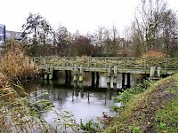
In 1989, clay deposits (unusual in a region of peat moor) and traces of ancient woodwork were discovered at the new Rietvink quarter of Leidschendam. It was possible to establish that the canal was about three meters deep and fifteen meters wide, enough for two ships. Water lilies, yellow irises, flowering rush, and spiked loose-trifes were along the banks. On the sandy west bank, near the dunes, one could see beeches, oaks, hazels, juniper bushes, herbs, grass, and sea buckthorn.
Since 1993, a modern, Roman-style bridge (inspired by the bridge Julius Caesar constructed across the Rhine) can be seen on the site of the ancient canal at Rietvink.