Map of the first circumnavigation of Africa
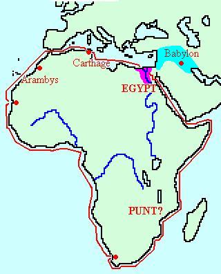
Description | Map of the first circumnavigation of Africa |
Date | ca. 600 BCE |
Creator | |
Licence | |
Linked | |
Categories | |
Tags |
We share high-resolution versions of our original photographs. Contact us for further information and be sure to make a note of the URL of the photos you are interested in.