Pyrenees
Q12431Pyrenees (Greek Πυρήνη or Πυρηναῖα, Latin Pyrenaei): mountain range between ancient Gaul and Iberia.
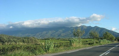
Like a straight line between the Atlantic Ocean and the Mediterranean Sea, the Pyrenees are the natural border between modern France and Spain, or ancient Gaul and Iberia. The name of these mountains is derived from Pyrene, a wealthy town on the Mediterranean coast, modern Port Vendres. The Pyrenees were believed to be the highest mountains of Europe.note According to Herodotus of Halicarnassus, the Danube had its source at the Pyrenees.note
The mountain range is about 435 km long. The northern slopes are more steep and wet than the southern ones, and the Roman author Pliny the Eldernote correctly observes that there were more forests on the slopes facing Gaul.
There are several mountain passes. In the far west the road that became famous as Roncevalles is an important corridor, in the east the Coll de Pertús, which is about 20 kilometers from the Mediterranean sea. According to legend, Heracles had passed through this valley, and Hannibal used this pass to invade Gaul in 218 BCE. In 121, the Romans constructed a road (Via Domitia), which became the site of a monument by Pompey the Great.