Lupia (Lippe)
Q153945Lupia: river in Germany, modern Lippe.
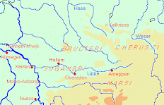
The Roman geographer Pomponius Mela knows only two rivers on the east bank of the Rhine: the Main and the Lippe, or, as the ancients called it, Lupia. These were the main routes when the Romans invaded Germania. After the campaigns of Drusus (between 15 and 9 BCE), the Lippe valley was more or less conquered - the Sugambrians who lived there had been deported - and archaeologists have found several Roman military settlements like Holsterhausen, Haltern, Oberaden and Anreppen.
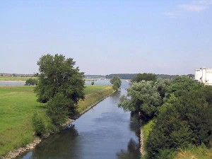
The photo above shows is the place where the modern Lippe empties itself in the Rhine. The modern city Wesel is to the right. To the left is the location of Xanten, which more or less occupies the site of an ancient fortress called Vetera. From there, the Romans could easily set out and invade the country of Germanic tribes like the Sugambri.
Since Antiquity, the terrain has changed considerably. The river changed its course and today, there are canals. Yet, vegetation seems to have remained more or less the same. Roman horror stories about fierce Germanic barbarians living in endless forests are exactly that: horror stories. The ancients believed that on the edges of the earth, there were large forests, but there is no evidence to confirm this. German forests are, in Roman sources, just topical.
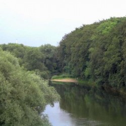
 The Lippe near Holsterhausen |
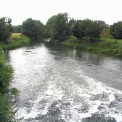
 The Lippe near Haltern |
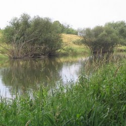
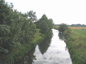
 The Lippe near Beckinghausen |
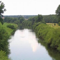
 The Lippe, Midstream |
Because of many excavations, the Roman presence after the deportation of the Sugambri is well-understood. The best-known fortress, Haltern, can dendrochronologically be dated to 5 BCE, and was occupied until after 9 CE, the year in which the Roman general Quinctilius Varus lost the battle in what is called the Teutoburg Forest. The Romans continued to occupy parts of the east bank of the Rhine.
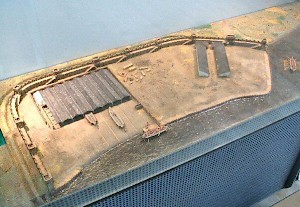
The next fortress to the east was Oberaden, with its supply base at nearby Beckinghausen. Dendrochronology has shown that this large fortress was founded in 11; it is mentioned by Cassius Dio, who calls the site Elison.note
Beyond it, upstream, the remains of a Roman bridge have been discovered at Kesseler. Even today, there's a lock. This part of the Lippe valley belonged to the tribe of the Bructeri. In 70, during the Batavian revolt, they obtained a Roman ship, which they towed upstream to donate it to their prophetess Veleda.
The easternmost known fortress was at Anreppen. This large military base was used until the battle in the Teutoburg Forest. The river is still navigable and it is possible to proceed further, in the direction of modern Paderborn.
The Roman road along the river continued after Anreppen, and maybe a settlement will one day be discovered further to the east. One clue for the location is the Roman supply base at Hedemünden, at the beginning of the river Weser. This proves that there must have been at least one big Roman fortress downstream - perhaps east of Anreppen, in the direction of Hameln and Minden (where a Roman millstone has been excavated in 2008).