Elburz
Q484725Elburz: mountain range in northern Iran.
The Elburz (Har + borz: "mountain" + "high") is one of the two main mountain ranges in modern Iran. Essentially, it separates the Caspian Sea region in the north from the central plateau, which is a desert. The other mountain range is the Zagros, which separates the central plateau from Mesopotamia in the west. The two ranges connect somewhere west of modern Tehran.
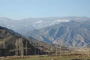
Several river valleys lead from the Elburz to the north, to the Caspian Sea. They have eroded large areas of the mountain and have created impressive looking, deep gorges. One of these connects modern Damghan to Sari (the road once taken by Alexander the Great), another one connects Tehran with Amol. In the far west, the Elburz touches the Zagros; in the east, it reaches the holy city of Mashad. Beyond the Afghan border, it continues as the Hindu Kush, from which it is separated by the river Arius (modern Hari Rudi).
The average heighth of the Elburz is about 2,750 meters, but many peaks exceed 4,000 meters and are permanently covered with snow. The highest summit is an ancient volcano known as Damavand, which reaches 5601 meters and resembles Mount Fuji. There is an old joke that if you want to tease an Iranian, you must just ask why the Iranians have put a Japanese volcano on the 10,000 rial banknotes.
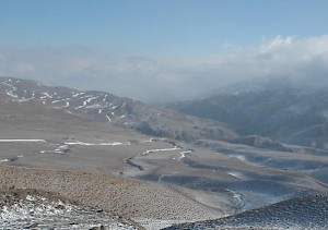
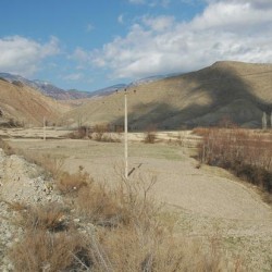
 Mountain plain |
 Watercourse |
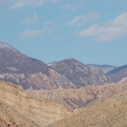 Geological layers |
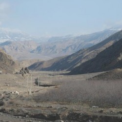 A mountain valley |
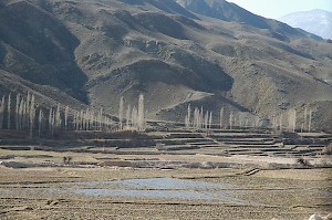
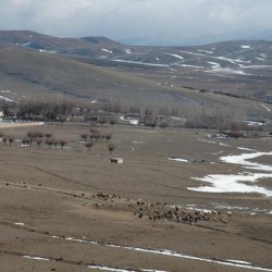
The Elburz is an important climate barrier between the arid central plateau and the moist, north facing slopes and coastal plain. There, one can find dense forests. This country, now called Mazandaran (ancient Hyrcania), has a subtropical climate. Farming can be done on dessa-like terraces. To the south of the Elburz, on the other hand, the climate is arid.
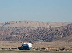
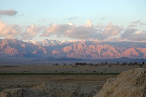
The last photo offers a view of the Elburz from the south, not far from the Caspian Gate. Note the incisions by the small rivers. They allow for agriculture in a long stretch of land between the mountain slopes and the desert. There are artesic wells too. For centuries, this narrow corridor has been used for east-west traffic (the Silk road).