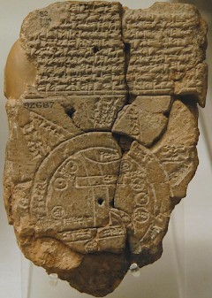
Mesopotamia
Q11767Mesopotamia: pseudo-ancient name for the country that is now known as Iraq. In Antiquity, it was not common to regard the five parts of this region as a unity.
The Greek word Mesopotamia, "country between rivers" (Euphrates and Tigris), is used for the first time by the historian Arrian of Nicomedia, in his account of the campaigns of Alexander the Great. He uses older sources, and Arrian applies the expression to what is now eastern Syria and northern Iraq. In other words, Arrian refers to the part that is now called Jezira ("the island"). The first to use the word to indicate southern Iraq too, was Pliny the Elder. In Antiquity, Arrian's usage was more common. When the Romans conquered land east of the Euphrates, they called this new province Mesopotamia, even though they had not subdued the south.
The larger area can be divided into five parts.
- Mesopotamia proper: Arrian's meaning of the word is a translation from the Babylonian expression mât birît nârim, which was not only accepted in Greek, but in several other languages as wel (the Aramaic beyhn nahrîn; Hebrew Aram naharaim; Old Persian Miyanrudan). There were several important cities, like Edessa, Harran, Nisibis, Singara, Hatra. The northern part has a more or less Mediterranean climate, with 400-800 mm of rain per year; to the south, there is less rain and the country becomes a steppe. The earth is rich in minerals because it is volcanic; the most fertile parts belong to the Turkish part of Kurdistan; the southern part is divided between Syria (which has the valley of the Khabur, a tributary of the Euphrates), and Iraq.
- Assyria: the hilly country east of the Tigris, intersected by the rivers Little Zab and Great Zab. The main cities were Aššur, Arbela, and Nineveh. The eastern parts share the rains that fall in the mountains and are green; the western parts have a steppe climate, with 200-400 mm of rainfall. Today, this belongs to the country of the Kurds.
- Babylonia: the fertile southern part, called after its capital Babylon. There are several important cities. West of the Euphrates, we find Eridu and Ur; between the rivers Larsa, Uruk, Umma, Isin, Nippur, Kish, Babylon, and Sippar; east of the ancient course of the Tigris are Lagaš and Girsu. This alluvial plain has a hot arid climate and 200-400 mm of rain, but the rivers bring sufficient water for agriculture. A large part of the modern population belongs to the Shi'a Islam.
- The western desert, populated with nomads. In historical times, they were sometimes called Amorites, Aramaeans, Chaldaeans, and Arabs. There is less than 200 mm of rainfall, and there is - of course - an arid climate.
- Finally, the mountains in the north and east, which are now part of Turkey and Iran (Zagros). They have a mountain climate with more than 800 mm of rain. Conditions for agriculture are excellent, and it was probably in these areas that agriculture was invented ("the Neolithic Revolution").
The country is extremely rich in agricultural resources.
So great is the fertility of the grain fields that they normally produce crops of two-hundredfold, and in an exceptional year as much as three-hundredfold
writes the Greek researcher Herodotus of Halicarnassus.note This is exaggerated, but the real fifteenfold yields were indeed extremely high.
Other products were scarse. Mesopotamia proper has some forests, but in Babylonia, wood had to be imported. Metallic ores are absent. The only resource is oil - but in Antiquity, no one knew an application for this dirty product.